Tag Archives: mapping

Test your knowledge! And track fast fashion with this interactive Africa study map

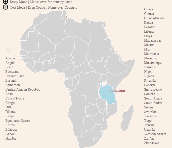
How well do you know your geography when it comes to Africa? Unfortunately, many of us need to study up.

This online tool could be a great addition to learning activities on fast fashion supply chains – specifically on second-hand trade.

Add this tool to:

via Africa is a Country

Africa Study Map

Get schooled in ‘Economic Complexity’ with MIT and Harvard

Licensed through the Creative Commons, The Atlas of Economic Complexity: Mapping Paths to Prosperity is a collaborative project that builds visualizations on import/export trade flow of products and goods. Once the visualization is built, learners can scroll their mouse over each category for further details.

Click here to read up on the research methodology used.

With green marking ‘garments’ let’s check out a tree map of Cambodia for exports in 2009 (click on the image to be taken to the interactive map):

Visualizations can also be built in stacked area charts and product space visualizations. Here’s a product space map of Hong Kong exports for 2009 (remember, green represents garments!):